Wainwright Maps
The Central Fells (Ivory & Black) - 50x70 cm / 20x28″
The Central Fells (Ivory & Black) - 50x70 cm / 20x28″
Couldn't load pickup availability
Share
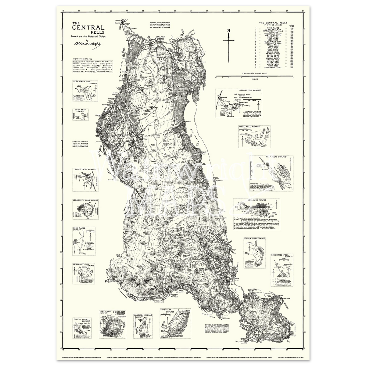
The Wainwright Map of the Central Fells features all 27 fells from Volume Three of Wainwright's Pictorial Guides to the Lakeland Fells. Those fells that sit between Borrowdale in the west, Thirlmere in the east, Keswick in the north and Great Langdale in the south, this region includes the ever popular Langdale Pikes and Loughrigg.
This map has been created from the original sketches of AW's guidebooks which have been trimmed, tweaked and teased together to form a single seamless map, as if drawn by AW's own hands.
The Ivory and Black versions of the Wainwright Maps pay homage to the pen and ink style of Wainwright's draughtsmanship with raven black ink set against a calming ivory backdrop.
Printed on high-quality, classic semi-glossy paper with a subtle shine. The paper is a sturdy and durable 170 gsm (65 lb), thickness: 0.19 mm (7.5 mils), and is FSC-certified or equivalent for sustainability.
Wainwright Maps are not fit for navigation on the fells, being based on Wainwright's original guidebooks which have not been updated since first publication in the 1950s and 60s.
Wainwright Maps are taken from material in Alfred Wainwright's Pictorial Guides to the Lakeland Fells published by Frances Lincoln, an imprint of the Quarto Publishing Group. The Pictorial Guides and the Wainwright Signature are copyright the estate of A. Wainwright.